What is an enumeration area in census design?
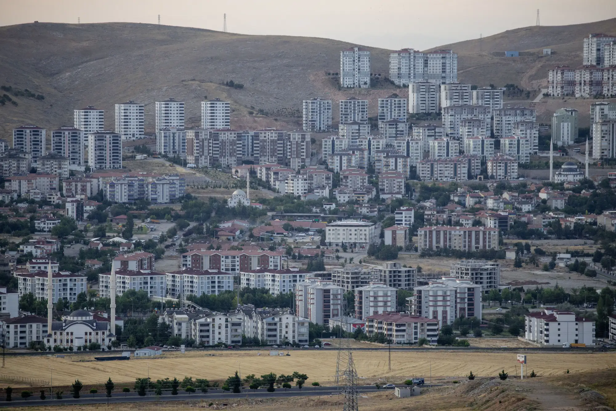
An enumeration area, usually just called an EA, is the smallest geographic unit a census is organized around. It's a workload unit: a patch of ground sized so one enumerator can cover every household in it during the counting period, typically a few days to a couple of weeks depending on the country's field plan. The boundary exists to serve fieldwork logistics, not political representation or statistical comparison.
Most national statistics offices set a target household or population count per EA before fieldwork starts, something like 100 to 200 households, and cartographers delineate boundaries to hit that target using whatever's visible on the ground or in imagery: roads, rivers, rail lines, administrative edges, sometimes a fence line or a tree row if nothing else is available. The boundary has to be something an enumerator can recognize while walking it, which is why EA maps lean so heavily on physical features rather than coordinates.
How EA boundaries get drawn
The delineation process usually starts with a base map and a population estimate for each candidate area, often built from the prior census plus whatever growth assumptions the mapping unit is working with. Where that estimate is close to reality, the EA ends up close to its target size and the enumerator's workload is manageable. Where it's off, which happens constantly in peri-urban and fast-growing districts, you get EAs that are badly oversized or undersized by the time fieldwork actually happens.
This is the part that causes real headaches during cartographic update. A district that had maybe 3,000 households at the last frame update can easily have 5,000 or more structures on the ground three or four years later, especially around transit corridors or where informal settlement has filled in. Splitting an EA mid-cycle means new boundaries, a new household listing, and a new enumerator assignment, all before a single interview happens. Offices that skip the update and send one enumerator into an EA that's doubled in size either run over budget or quietly undercount it.
Census tract vs. enumeration area
People sometimes use these terms interchangeably, but they're built for different jobs. A census tract (the term used in the US system, with equivalents elsewhere) is a statistical geography meant to stay roughly stable from one census to the next, usually delineated to hold a population in the low thousands, and designed for comparing data over time: tract-level income, housing, or demographic trends across multiple census years.
An enumeration area is a fieldwork unit, built to be redrawn, split, or merged every census cycle to match whatever the current field logistics require. A tract can contain several EAs, and an EA may be built specifically to nest inside tract boundaries so tract-level totals aggregate cleanly from EA counts. The EA exists to get an accurate count done efficiently; the tract exists so the numbers from different years and different geographies can be compared against each other afterward.
Both depend on the same underlying thing, though: a reasonably current picture of where people live. EA frames built on an outdated structure count don't just make fieldwork harder, they bias the count itself, because enumerators either run out of time in a dense EA and shortcut the listing, or they're sent to a sparse EA that no longer matches its assigned boundary.
Where this breaks down between censuses
The EA framework assumes you know roughly how many households are in an area before you plan the fieldwork. That assumption holds fine right after a census and gets shakier every year after that, particularly in districts where construction has outpaced the last count by a wide margin. By year three or four of an intercensal period, the EA frame drawn from the last census can be meaningfully wrong for the fastest-growing parts of a district, and any population figure built on it inherits that error.
For an office that needs a current population figure for one of those districts without re-running fieldwork, Population Estimation builds a structure count and population estimate for a defined area of interest directly from high-resolution satellite imagery, giving a number you can use for planning or EA re-delineation without waiting for the next census.
If your next EA update is stalled on a current count for a growing district, that's worth a look.