Field notes: the day the district boundary moved and the count had to catch up
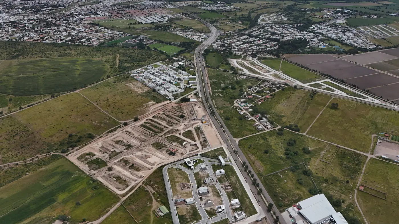
The memo came through on a Tuesday, three paragraphs, gazetted the week before. A new ward had been carved out of the eastern edge of a district that was already overdue for a recount. Nobody in the planning unit had asked for it on that timeline. The boundary commission has its own reasons and its own clock, and those don't wait for the next census.
What followed is familiar to anyone who has sat with denominators for a living. Every figure keyed to the old ward lines, health catchments, school feeder zones, the per-capita budget formula, was suddenly describing a shape that no longer existed on the ground. The population hadn't moved. The line had. But a count tied to the old polygon is a count of the wrong place, and a count tied to the new polygon doesn't exist yet.
This is the part that doesn't make it into the gazette notice: somebody has to produce a number for the new ward before the old one is even cold. Not years from now, when the next census rolls through and settles it properly, but now, because the transfer payment formula runs on a fiscal calendar and the fiscal calendar does not care that the cartography changed.
The instinct, reasonably, is to apportion. Take the last reliable count for the parent district, split it by land area or by the share of enumeration areas that fell on each side of the new line, and call it done. That math holds up fine when the realignment tracks a road or a river, the kind of boundary the old enumeration grid already respected. The harder case is the one that triggers most redraws in a growing district: a ward gets split because one end filled in with new construction faster than the other, and land-area apportionment then hands the slower-growing half a population share it never had.
What we ended up doing, and what I'd recommend to anyone facing the same memo, was to stop treating the realignment as a boundary problem and start treating it as a counting problem that happens to have a new boundary attached to it. Pull current structure footprints and building heights for the area the new ward now covers, not the old enumeration blocks, and build the population estimate from what's standing there this year. The boundary commission's polygon becomes the unit you clip to, not the thing you're trying to infer from stale figures. It takes a day or two longer than apportionment, and it's the version of the answer that holds up when someone on the budget committee asks how the new ward's share was derived.
The part that still catches people off guard is how often this happens below the level anyone tracks centrally. District splits get noticed. Ward and sub-ward realignments inside a fast-growing district get gazetted quietly and then sit there for a cycle or two before anyone downstream notices the denominators have drifted. By the time it surfaces, the apportioned number has usually gone through at least one budget round already, which is its own small headache to unwind.
None of this is really about the boundary. It's about what you do in the stretch between a line moving on paper and a line having an actual, defensible count attached to it, the same gap every fast-growing district sits in between censuses whether the boundary commission has been busy or not. That's the problem Population Estimation is built around: turning current imagery into a population figure for a drawn area, old boundary or new, without waiting for the next enumeration to confirm what the growth already shows.
If your district's lines have moved and the count hasn't caught up yet, that's worth a look before the next budget cycle locks in the old numbers.